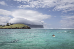
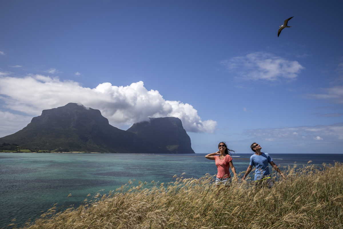
Contributed by Geordie Tennant: Resting sheltered in the centre of Lord Howe’s aquamarine lagoon, just 700 metres off shore, is a small grass covered island. Its official name on local maps is Blackburn Island, although locally it’s known as Rabbit Island.
Facts as to the origin of the island’s moniker vary, however, the most commonly cited story is that the island resembles a resting rabbit. It takes a stretch of the imagination to visualise any form of feral resemblance, which perhaps gives credence to another theory, that early settlers mistook the bird burrows scattered over it’s 2.4 hectares as rabbit burrows.
Being smack in the middle of the lagoon makes Rabbit Island a prominent feature on the landscape for anyone hanging out on the western side of Lord Howe. Its close proximity beckons visitors to come and explore the small island and its surrounding snorkelling spots. Provided conditions are right, like today when an easterly leaves the lagoon flat and glassy, it’s an easy kayak or stand up paddleboard. Unofficially, you’re allowed to land on the island and while there are no marked walking trails, there is a well-worn path you can follow to the summit.
I’ve kayaked to and around Rabbit Island many times but today I was feeling particularly energetic and have swum the distance from the Aquatic Club on Lagoon Beach. As I drag myself toward the small dark cove however, gasping through my salt-stung throat, I’m second-guessing my ability to do so. I briefly wonder if any passing kayakers will have room for one more on their return journey.
The small cove is rocky and difficult to walk on, but transitions to a single-file track leading up the hillside. From back on Lagoon Beach, a large mass of the eastern slope of Rabbit Island appears covered in dark foliage. However, if you take the diversion off the summit track and delve into the twisted undergrowth, you’ll discover it’s amazingly a single Banyan tree that’s spread itself out over 140 square metres.
With my heartbeat steadying and spurred on by a childlike sense of triumph, I set out to reach the island’s hilltop. Tall, yellowed grass licks at my elbows and the fine, powdery dirt coats my wet feet as I make my way up the trail. I’m careful to avoid the ankle-twisting burrows belonging to the migrating Wedge-tailed shearwaters, commonly known as Muttonbirds, which are booby-trapping the route.
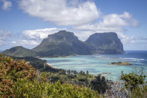
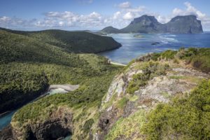
At only 32 meters high, it takes no more than five minutes to reach the yellow windsock on Rabbit Island’s hilltop. From here, you’re treated to a 360-degree view from where you can survey almost the entire lagoon, which is hugged by the crescent-shaped west coast of Lord Howe. You can trace all seven peaks of the island from this vantage point. From the bare, craggy tip of Mt Eliza, across to Kims Lookout and Malabar, over the undulating green of Transit and Intermediate hills, and finally rising skyward to the imposing, cloud-capped summits of Mount Lidgbird and Mount Gower. To the west, past the whitewashed fringes of the reef and beyond the cobalt horizon of the Tasman Sea, lies mainland New South Wales almost 600 km away.
My timing to the hilltop is fortuitous. As I’m taking in the view, as if on cue, a deafening roar comes from overhead. Suddenly, I’m staring up at the underbelly of a Qantas Dash-8 as it roars its way into land. I think of the passengers, peering out the windows with wonder, eager to begin their own exploration of Lord Howe. I’m sure some of them will also make their way to Rabbit Island and when they do, their home beyond the cobalt horizon will feel like a world away.


